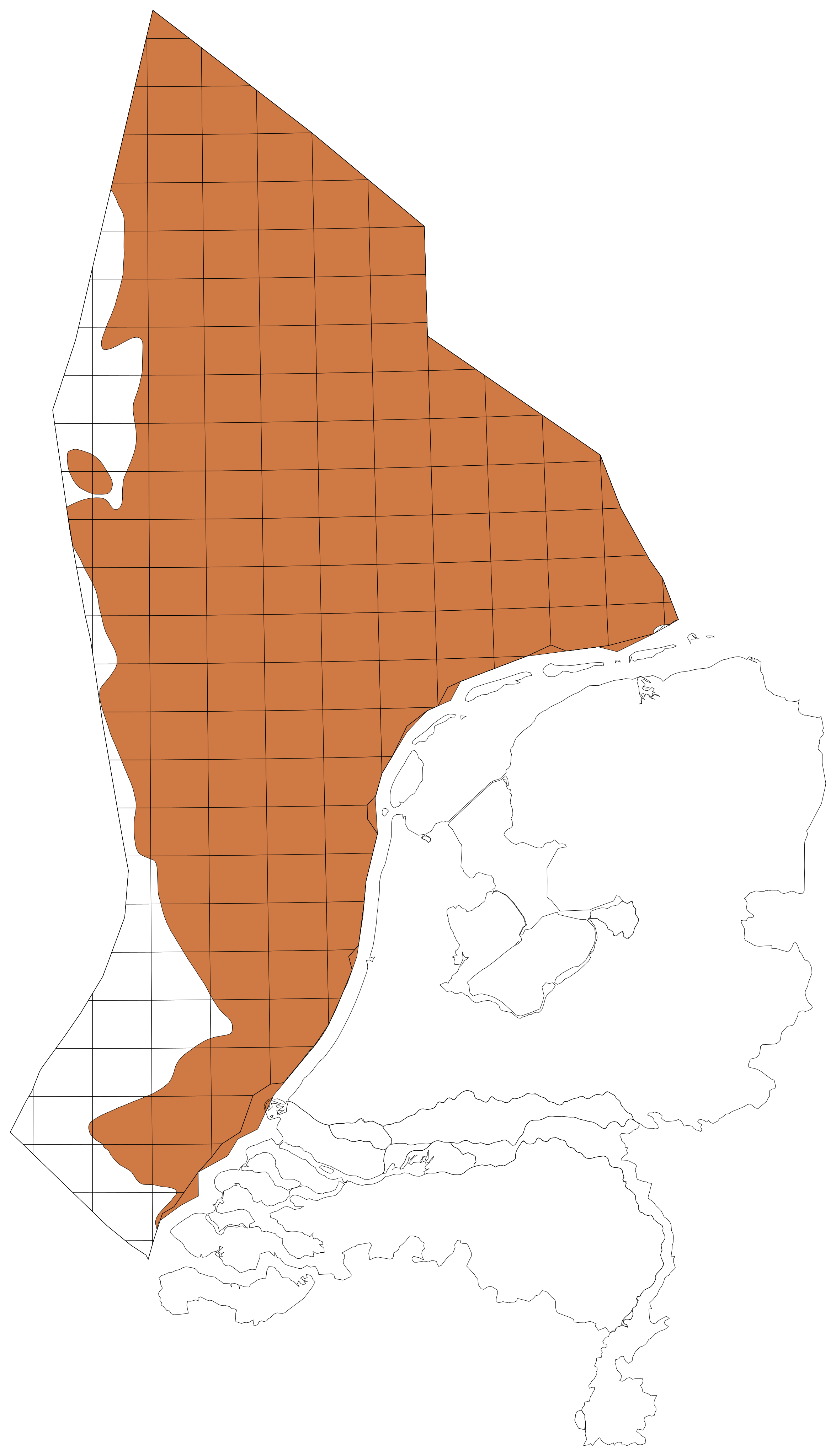
Balson, P.S., Laban, C., Schüttenhelm, R.T.E., Paepe, R., Baeteman C. 1991. Ostend: sheet 51°N/02°E. Seabed sediments and Holocene Geology, 1 : 250 000 series British Geological Survey, Geological Survey of the Netherlands & Belgian Geological Survey.
Cameron, T.D.J., Laban C., Schüttenhelm, R.T.E. 1984. Flemish Bight: sheet 52°N/02°E. Quaternary Geology, 1 : 250 000 series British Geological Survey and Geological Survey of the Netherlands.
Cameron, T.D.J., Laban, C., Mesdag, C.M., Schüttenhelm, R.T.E. 1986. Indefatigable: sheet 53°N-02°E. Quaternary Geology, 1:250 000 series. British Geological Survey and Geological Survey of the Netherlands.
Funnell, B.M. 1996. Plio-Pleistocene palaeogeography of the southern North Sea basin (3.75-0.60 Ma). Quaternary Science Reviews, 15, 391-405. https://doi.org/10.1016/0277-3791(96)00022-4
Gibbard, P.L., Zalasiewicz, J.A., Mathers, S.J. 1998. Stratigraphy of the marine Plio-Pleistocene crag deposits of East Anglia. Mededelingen Nederlands Instituut voor Toegepaste Geowetenschappen TNO, 60, 239-262.
Laban C., Cameron, T.D.J., Schüttenhelm, R.T.E. 1984. Geologie van het Kwartair in de Zuidelijke Bocht van de Noordzee. Mededelingen Werkgroep van Tertiaire en Kwartaire Geologie, 21, 139-154.
Mathers, S.J., Zalasiewicz, J.A. 1988. The Red Crag and Norwich Crag formations of southern East Anglia. Proceedings of the Geologists' Association, 99, 261-278. https://doi.org/10.1016/S0016-7878(88)80053-1
Munsterman, D.K., Donders, T.H., Houben, A.J.P., Ten Veen, J.H., Wesselingh, F.P. 2025. Paleogene-Neogene. In: Ten Veen, J.H., Vis, G.-J., De Jager, J., Wong, Th.E. (eds): Geology of the Netherlands, second edition. Amsterdam University Press (Amsterdam): 293-331. https://www.jstor.org/stable/jj.27435714.13
Pegler, E.A. 1994. Architecture and stratigraphy of Neogene and Quaternary sediments off the island of Terschelling, the Netherlands. Proefschrift, University of Edinburgh, 336 p.
Vernes, R.W., Deckers, J., Bakker, M.A.J., Bogemans, F., De Ceukelaire, M., Doornenbal, J.C., Den Dulk, M., Dusar, M., Van Haren, T.F.M., Heyvaert, V.M.A., Kiden, P., Kruisselbrink, A.F., Lanckacker, T., Menkovic, A., Meyvis, B., Munsterman, D.K., Reindersma, R., Ten Veen, J.H., Van de Ven, T.J.M., Walstra, J., Witmans, N. 2018. Geologisch en hydrogeologisch 3D model van het Cenozoïcum van de Belgisch-Nederlandse grensstreek van Midden-Brabant / De Kempen (H3O – De Kempen). Studie uitgevoerd door VITO, TNO-Geologische Dienst Nederland en de Belgische Geologische Dienst in opdracht van Vlaams Planbureau voor Omgeving, Vlaamse Milieumaatschappij, TNO, Geologische Dienst Nederland, Nederlandse Provincie Noord-Brabant, Brabant Water, Programmabureau KRW/DHZ Maasregio. https://www.dinoloket.nl/sites/default/files/2018-07/R11261_H3O_De_Kempen_Final_sec.pdf