Code
SLCFR
Status
Formal (Van Adrichem Boogaert & Kouwe 1993).
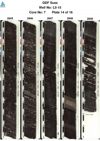
Lithological description
Dark-grey, carbonaceous, locally silty to sandy claystone, with thin intercalated beds of well-sorted, very fine to fine-grained sandstone, dolomite and coal. An up to 25 m thick interval with several thicker sandstone and coal beds is included in the member. Cored sections show bioturbated wavy and flaser bedding. The sandstone beds are cross-bedded. Internal coarsening upward trends are frequently observed.
Depositional setting
Lagoonal.
Definition of lower boundary
Unconformable with the Altena Group and can be seen as a shift in sonic log patterns and as a seismic reflector.
Definition of upper boundary
Base of the second thick sandstone interval in the type well, often marked by a resistivity-log peak. Resistivity and sonic log readings above this boundary seem to shift and change slightly, but not uniformly.
Thickness indication
Up to 113 m.
Geographical distribution

Regional correlation
UK: Humber Group; GER: ?; BEL: -.
Age
latest Callovian - early Oxfordian.
Holostratotype
Well:
Depth (thickness) AH:
2497 - 2572 m (75 m)
Parastratotype
Well:
Depth (thickness) AH:
2817 - 2825 m (8 m)
Origin of name
Named after the Borkummer Rifgronden, an area with a stony sea-bottom in the North Sea, south of the German Wadden island of Borkum.
Previous name(s)
None.
Reviewed by (date)
Sander Houben (2017).
References
Van Adrichem Boogaert, H.A. & Kouwe, W.F.P. 1993. Stratigraphic nomenclature of The Netherlands; revision and update by RGD and NOGEPA, Section G, Upper Jurassic and Lower Cretaceous. Mededelingen Rijks Geologische Dienst, 50, 1-80..
Cite as
TNO-GDN ([YEAR]). Rifgronden Member. In: Stratigraphic Nomenclature of the Netherlands, TNO – Geological Survey of the Netherlands. Accessed on [DATE] from http://www.dinoloket.nl/en/stratigraphic-nomenclature/rifgronden-member.