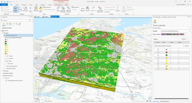
NetCDF-files of REGIS II and GeoTOP can be downloaded from TNO’s OPeNDAP-server. NetCDF (Network Common Data Form) is a data format that supports array-oriented multi-dimensional data such as the 2D stacked grids of REGIS II and the 3D voxels of GeoTOP. The OPeNDAP-server allows users to select an area of interest and download that part of the model as a NetCDF-file. The instruction describes how a part of GeoTOP can be downloaded. It also describes how to open the file as a voxel layer in Esri’s ArcGIS Pro (version 2.6.0 and higher).
The NetCDF files of Mineral Information System (DIS) is available at the DIS page.